Bougainville Coastal Waters Survey launched
The Bougainville Coastal Waters Survey Program is set to commence this month to map out areas that constitute as ‘Bougainville waters’, as part of the drawdown of fisheries powers and functions to the Autonomous Bougainville Government.
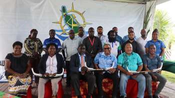
ABG President Hon. Ishmael Toroama officially launched the Survey today in Buka, signifying a milestone for Bougainville, being the first maritime region in Papua New Guinea to undergo this coastal mapping process.
“Today, we embark on a journey that will play a pivotal role in shaping the future of Bougainville. This Survey will contribute to our preparation for political independence as it will mark the benchmarks for Bougainville’s coastal waters,” Toroama said.
“The delimitation of sea boundaries is more than just drawing lines on a map; it is about defining the territorial sovereignty and the rights of the people of Bougainville. It is about ensuring that Bougainville's voice is heard and respected on the global stage as we move closer to realizing their aspirations.”
The mapping of Bougainville’s coastal waters will enhance maritime services, regulate shipping services, reap economic benefits from infrastructure and marine resource development, as well as enable Bougainville to possess reference coordinates that determines its baseline, internal waters and coastal waters.
ABG technical officers from the ABG Departments of Primary Industries, Lands, Commerce, Mineral and Energy Resources and other supporting departments in the Bougainville Public Service, also completed a week-long workshop learning about using modern geospatial techniques to be applied during the field survey.
Beginning on 16 to 28 October 2023, four survey teams will be deployed to identified coastal communities across North, Central and South Bougainville to undergo the field survey of the coastal mapping.
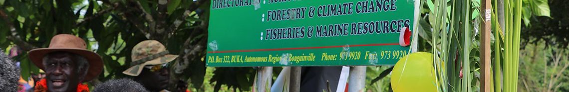
The Bougainville Coastal Waters Survey is being facilitated through the ABG Department of Primary Industries & Marine Resources, the National Fisheries Authority, the National Department of Justice and Attorney General, the National Maritime Safety Authority and the Geoscience Energy & Maritime (GEM) Division of Pacific Community (SPC).
The formalizing of Bougainville’s maritime boundaries is being done under the guidance of the international framework of the United Nations Convention on the Law of the Sea (UNCLOS).
[ Back to News ]